Restoration of the Monumental Arch of Palmyra
The monumental Arch of Palmyra, a symbol of the ancient city and all of Syria, was destroyed by ISIS militants during the capture of the city in 2015. In 2022, specialists from the Rescue archaeology center of the Institite for the history of material culture of the Russian Academy of Sciences (RAC IHMC RAS) launched a project to restore the Arch using advanced digital documentation, non-destructive testing, and design methods. The primary goal is to prepare and implement the restoration of this destroyed monument.
General Information
The project is conducted on the UNESCO World Heritage site and is carried out in accordance with agreements between IHMC RAS and the Syrian Directorate-General of Antiquities and Museums (DGAM), as well as the Syrian Development Trust. The implementation stages include:
- Assessment of the project’s impact on the World Heritage site.
- Post-traumatic response.
- Historical and archaeological research.
- Development of an architectural project considering all the above factors.
Detailed models of the collapsed blocks and surviving structures were created, a Building Information Modeling (BIM) model of the Arch was constructed, and an initial virtual reconstruction was conducted based on it. Archaeological research was carried out on the site around the Arch, examining the foundations and the cultural layer from the period of the Arch’s construction and use.
Post-Traumatic Response
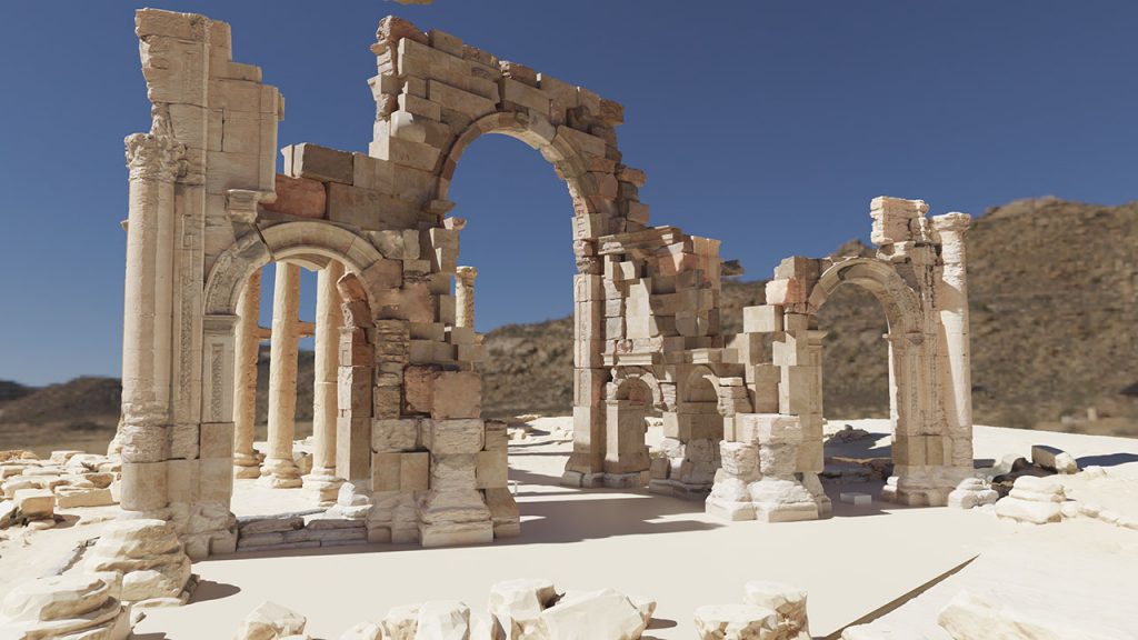
During the preparatory work, three-dimensional models of the state of the Arch’s collapse after the explosion were created using photogrammetry. Based on their analysis, all priority measures for post-traumatic response were planned. The collapse model localized and identified blocks related to different parts of the structure, providing sufficient primary data for developing the BIM model. This model forms the basis for all data collection and subsequent reconstruction.
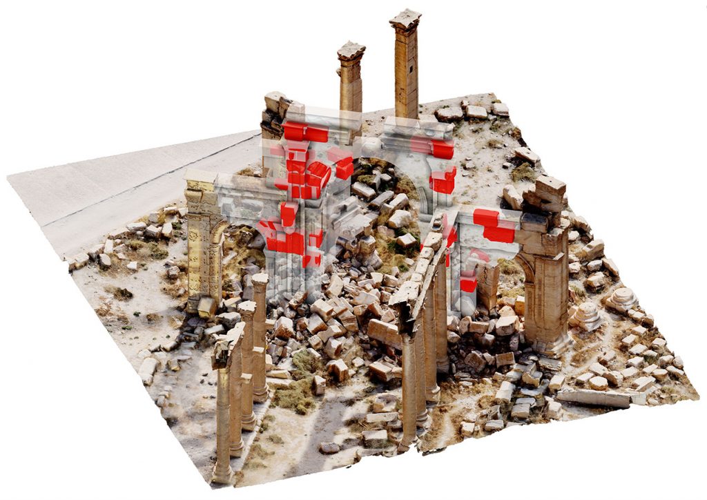
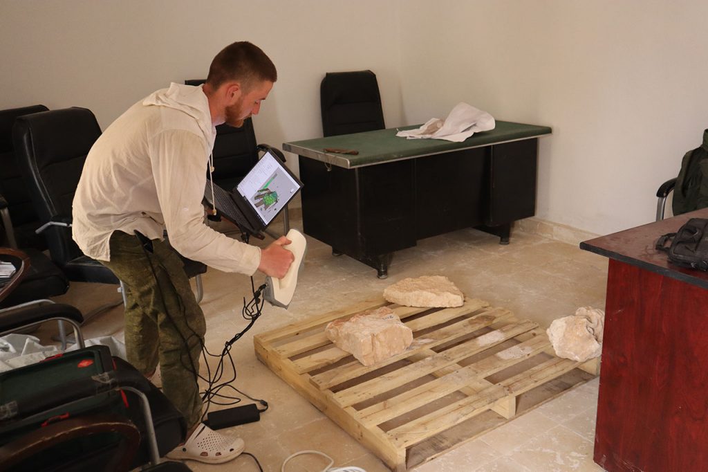
In fieldwork involving residents of the city of Tadmur, the collapsed stone blocks of the Arch were disassembled. Each block or fragment were scanned using structured light scanning with an Artec Eva 3D scanner. Surviving structures were documented using photogrammetry with a DJI Mavic 3 drone and a Canon 5D Mark III camera with a Canon EF 24 mm lens. The BIM model was continuously refined during scanning, with new blocks added and preliminary data replaced by more accurate information. The virtual reconstruction phase began after scanning was completed.
Archaeological Research
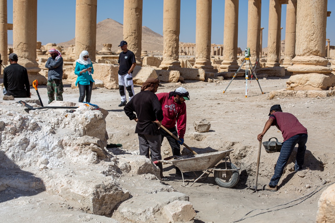
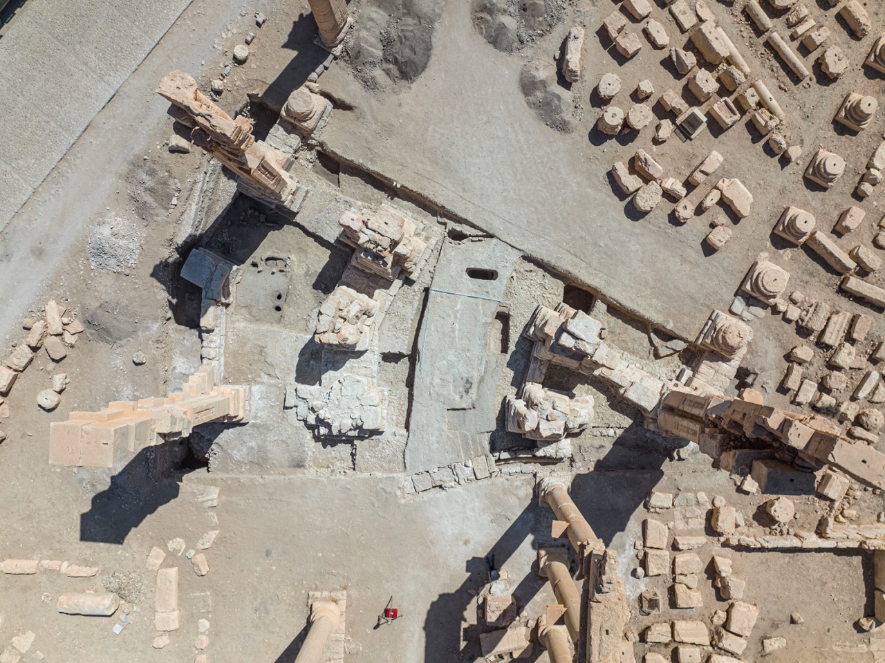
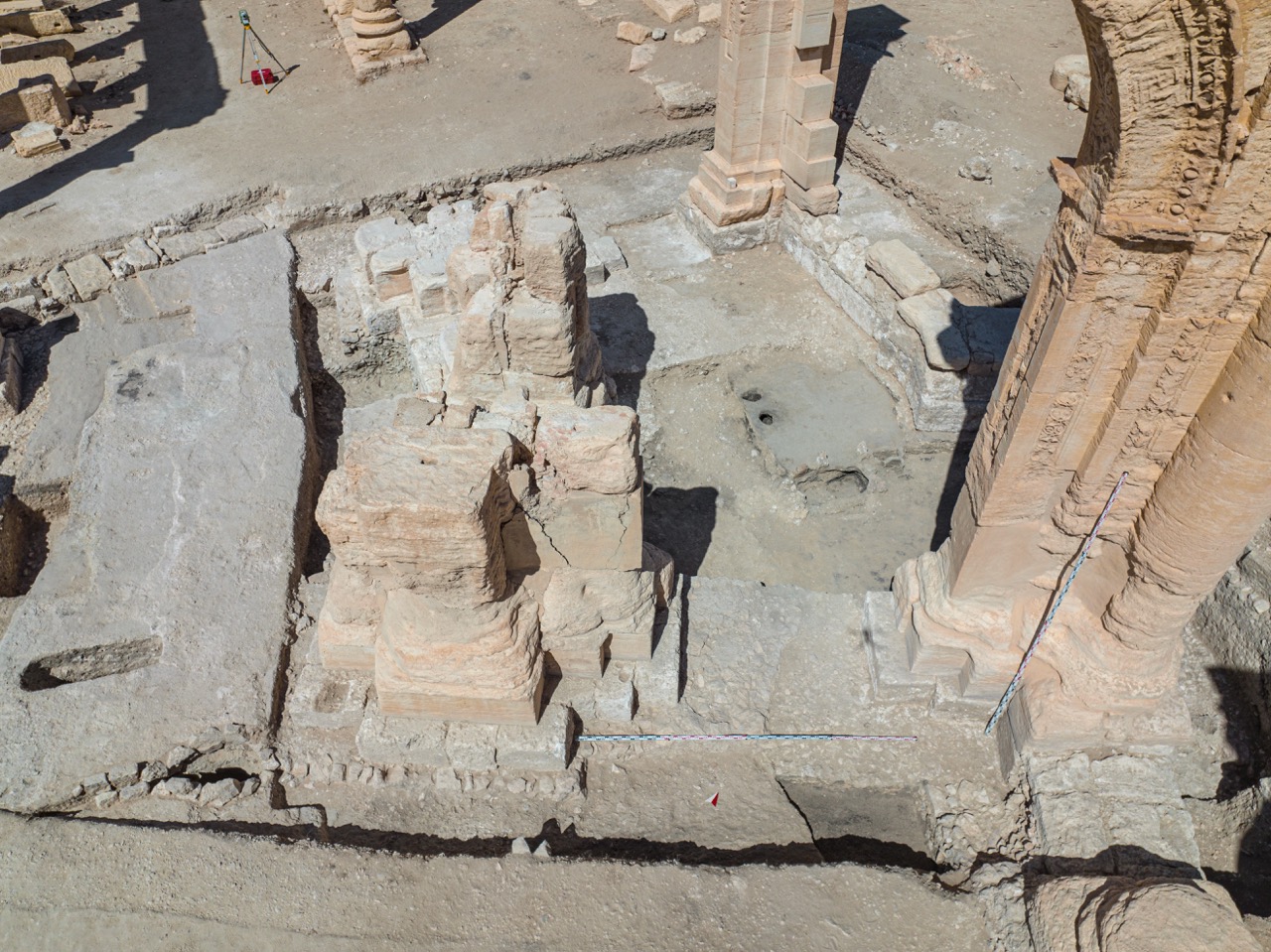
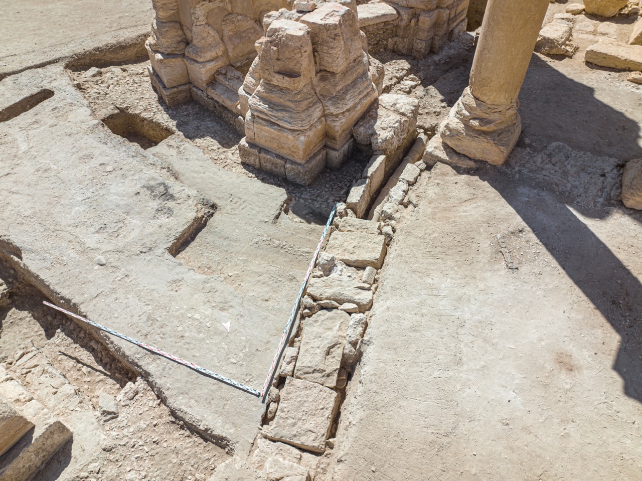
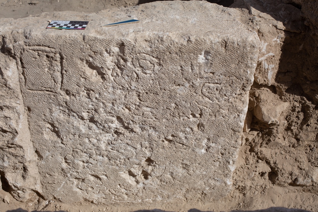
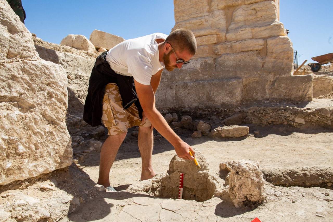
Developing an architectural project as well as creating an academic historical reconstruction is impossible without a precise understanding of the ancient monument’s details, which can only be achieved through precise archaeological research. Such excavations were conducted around the Arch pillars in September 2022, in collaboration with Syrian DGAM archaeologists and active participation from Tadmur residents.
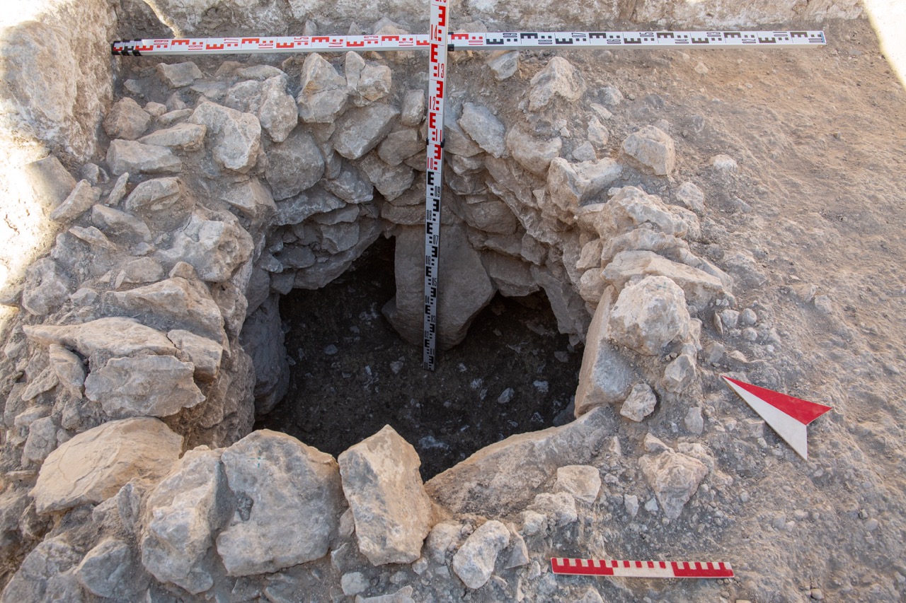
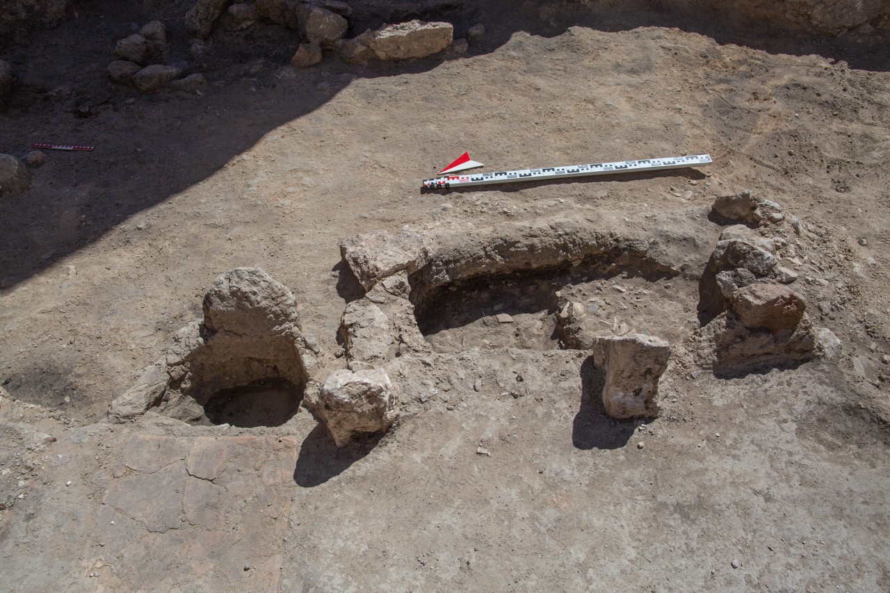
Sections of the cultural layer adjacent to the Arch’s foundations were studied, providing detailed information about the foundation structures and new data on the site’s use in later periods. It was established for the first time that the main planning axis, represented by the Great Colonnaded Street (Via Magna) in Roman times, lost its significance in the early Middle Ages. Numerous utility structures (various pits, a cellar, a livestock trough, hearths, and small ovens) were built within the Arch, and various adobe structures were erected.
A significant discovery for studying the late Roman city’s infrastructure was a section of ceramic water pipes found west of the Arch, arranged in a stone trench. This system was likely part of the Roman water supply network, feeding nymphaea along the Great Street.
Reconstruction of the Arch's Appearance Before the Explosion
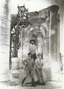
Despite the Arch’s immense cultural importance, few detailed measurements of the structure have survived. A critical source is the work of French restorer and archaeologist Robert Amy, whose efforts in the 1930s gave the Arch its “modern” appearance known before the explosion. Apart from Amy’s general measurements, architectural studies over the past century have not been comprehensively published, and their archival versions remain inaccessible. The CSIC RAS team faced the challenge of creating detailed measurements of the destroyed structure. The three-dimensional basis for this task was developed by Maxim Atayants’ studio, using a method of reverse multi-reference modeling.
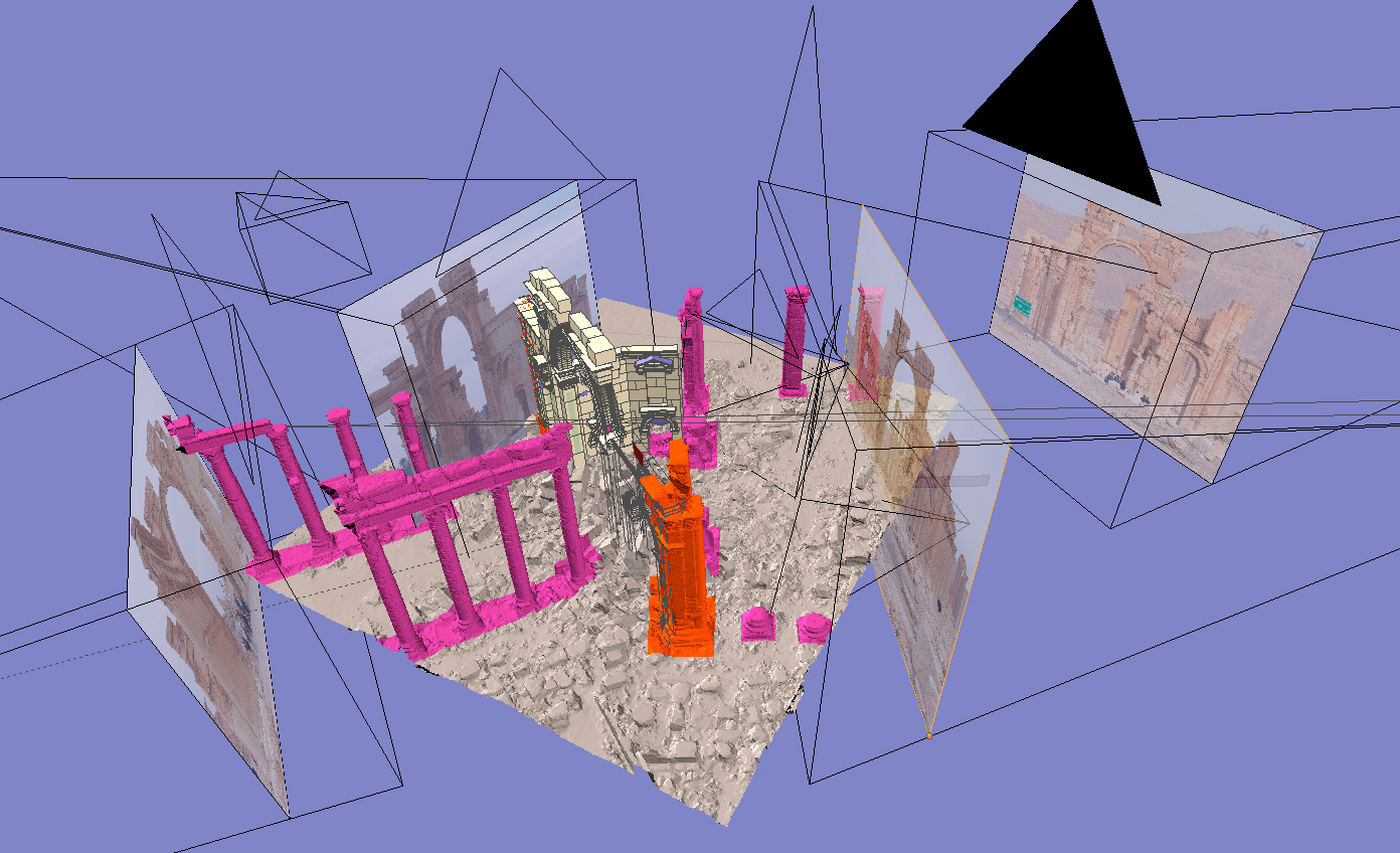
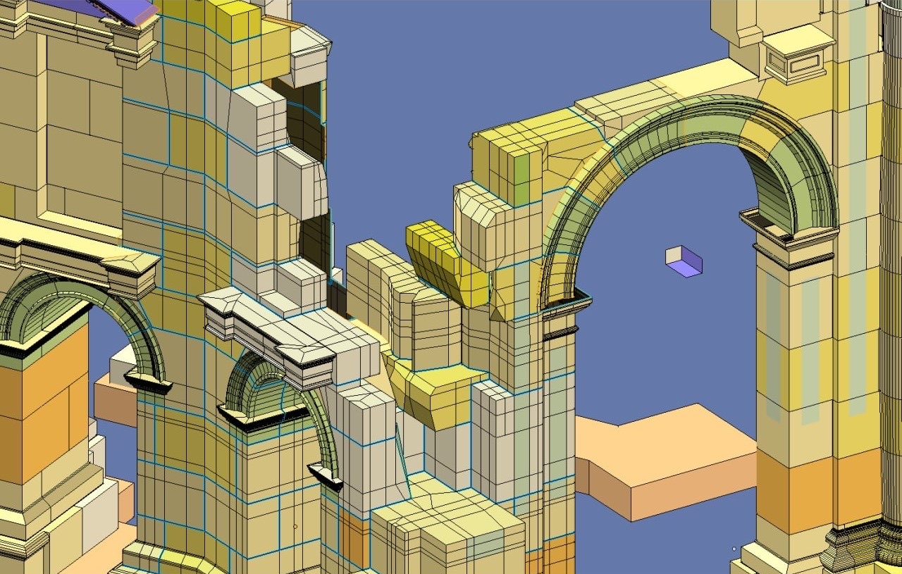
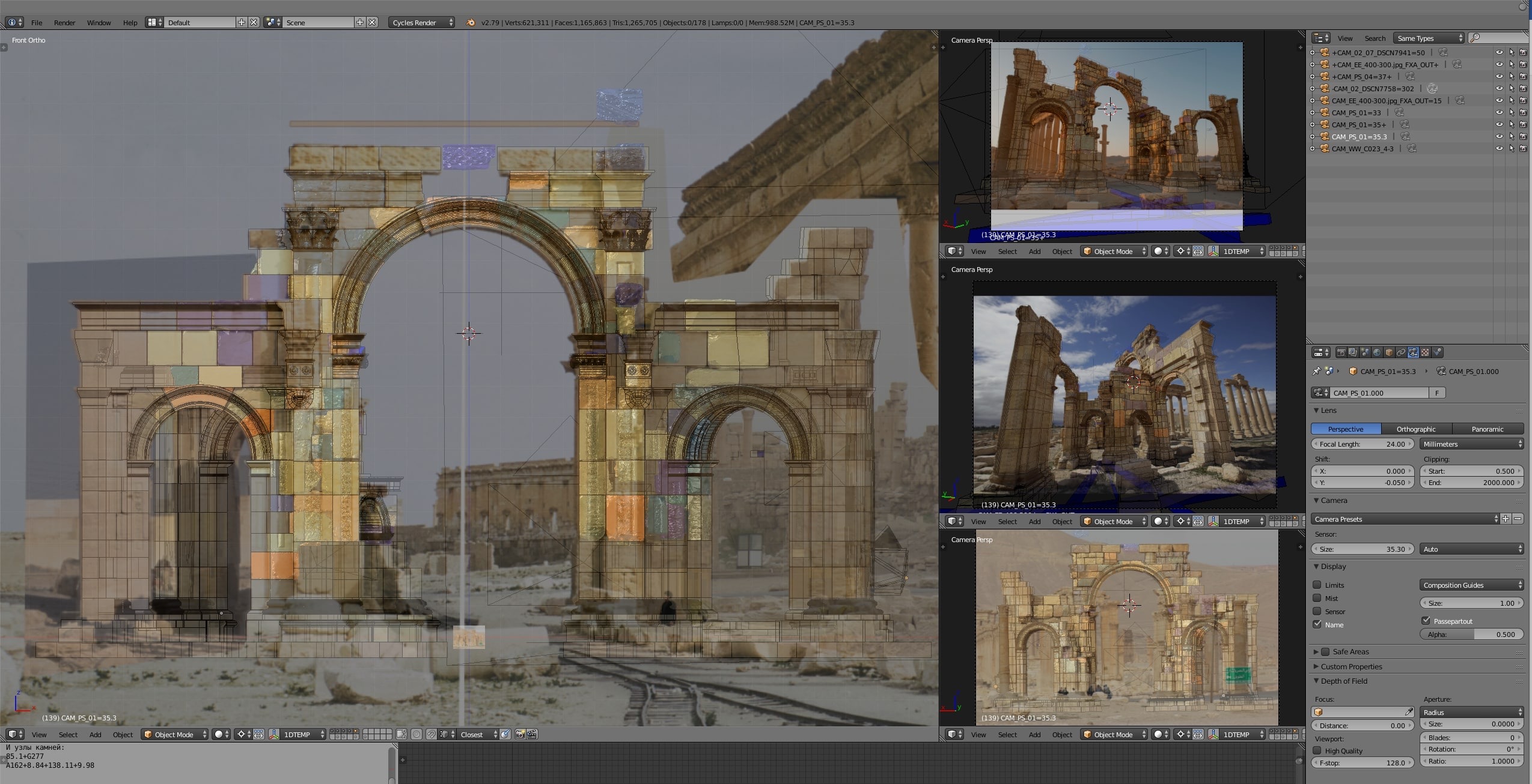
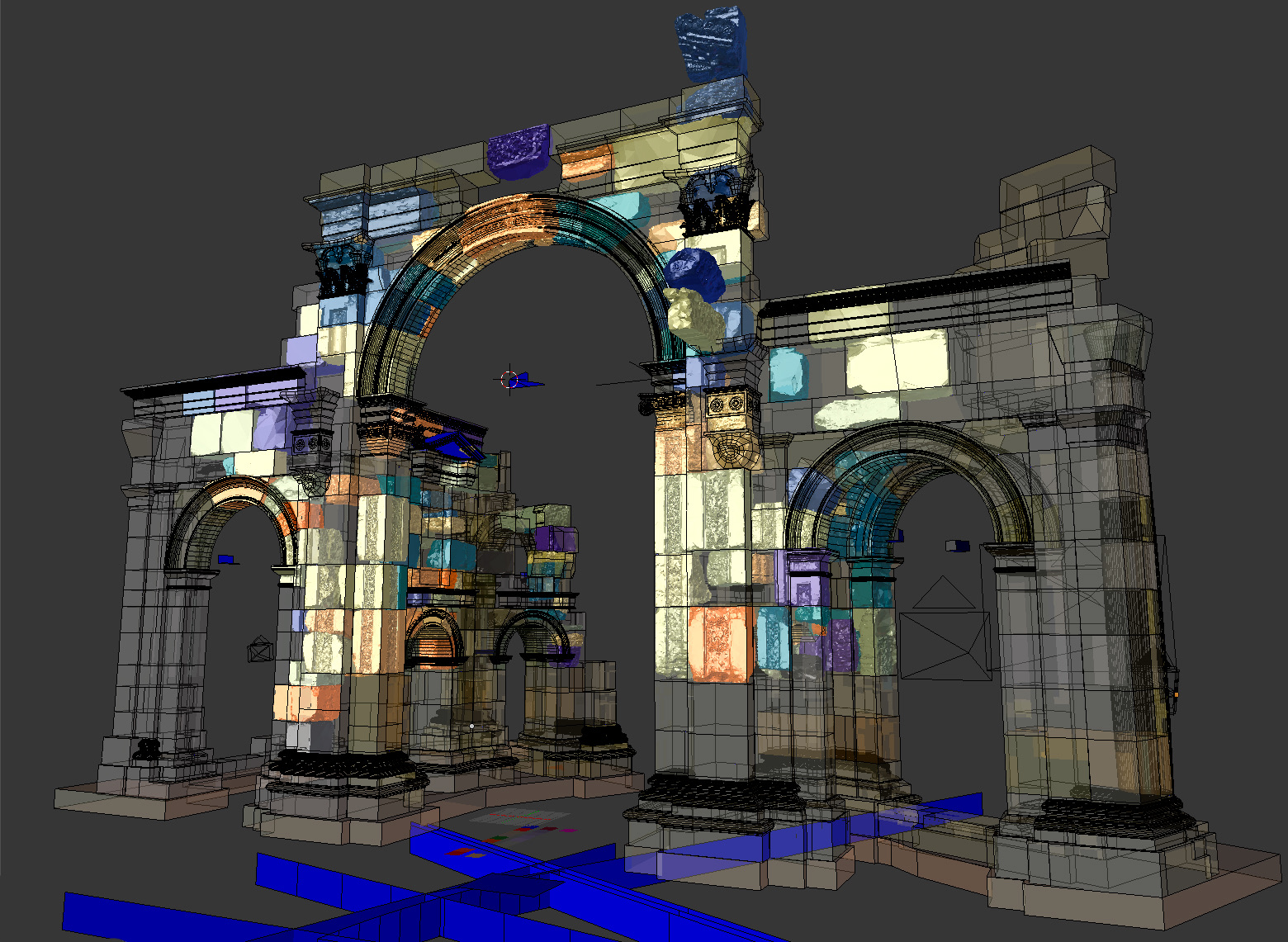
This approach utilized precise three-dimensional documentation of the Arch’s surviving structures and extensive photographic documentation from open sources and archives. A plugin package for Blender 3D, developed by the Maxim Atayants studio, allowed photographs to be aligned accurately, considering focal length, angle, and camera sensor size. This enabled the photographs to serve as precise references for manually modeling the Arch’s volumes. Each modeled element underwent successive refinement stages, resulting in an accurate model of the monument as it was before its destruction.
Reconstruction of the Arch's Historical Appearance
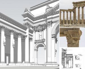
At the same time, architect Maxim Atayants conducted scientific work to recreate the Arch’s historical appearance, based on archival research and archaeological excavations.
Development of the Architectural Restoration Project
Based on all the work conducted, the architects from Studio 44, under the guidance of People’s Architect Nikita Yavein, developed fundamental approaches to the reconstruction of this complex monument. These approaches formed the basis for the architectural restoration project, and construction work is set to begin on-site in 2024.
Project bibliography
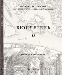
The project’s results were presented by participants at numerous conferences in Russia and Syria, with initial findings published in the Bulletin of RAC IHMC RAS, Issue 13 as a bilingval collection of papers.
Project team
